

Rivers come in all shapes and sizes. Some flow calmly and rhythmically, as if long resigned to their fate. Others carve out nearly straight paths, allowing people to build bridges, lay roads, and construct waterfronts with ease. And then there is the North Saskatchewan River. It was along its banks in 1795 that the first trading post was established—a settlement that would eventually grow into the modern city of Edmonton.
This river can hardly be called predictable. Over time, it carved a deep valley into the landscape, characterized by unstable slopes and frequent seasonal flooding. It handed down strict conditions to early city builders: Edmonton’s architecture and layout had to adapt entirely to the terrain. The river valley determined where the first residential neighborhoods would take root, how bridges would be built, and why downtown skyscrapers were set back from the water. Far from a mere poetic trope, this is a defining urban development fact in the history of Alberta’s capital—a narrative that echoes throughout the city’s evolution, with more details available at edmonton-future.com.
It Wasn’t People Who Chose the North Saskatchewan Valley—The River Chose Them
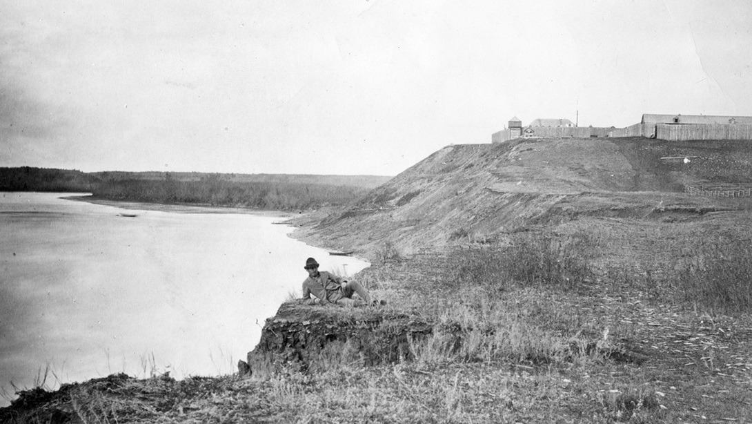
If the location for future Edmonton were chosen under modern development standards, developers would undoubtedly have said, “Let’s find a flatter plot.” However, in the late 18th century, no one consulted architects. Early settlers were not looking for scenic panoramas; they needed access to water, timber for construction, safe river crossings, and shelter from severe Canadian winters.
The North Saskatchewan River valley offered all of this, albeit at a steep price. Long before Europeans arrived, the river canyon served as a natural transportation artery and a seasonal campsite for Indigenous peoples, including the Cree and Nakota. When the Hudson’s Bay Company established the first trading post at Fort Edmonton in 1795, its location was dictated entirely by the river logistics of the fur trade.
Over the following decades, the fort relocated four times due to flood threats until 1830, when it finally anchored itself on a high plateau where the Alberta Legislature Building stands today. In essence, the area’s first urban planners were hunters and fur traders.
Without blueprints or formal plans, they intuitively understood the landscape: where it was safe to erect permanent structures and which lowlands would inevitably submerge under spring meltwaters. French Canadians and Métis left a distinct mark on early architecture. Since stone was scarce in the region, the forests along the valley served as the primary source of building materials. Adapting to the harsh local climate, they established Edmonton’s early timber construction traditions. Cabins were erected on elevated valley terraces to protect against soil erosion and floods, outlining the contours of future city streets.
An interesting historical nuance: modern publications often claim that steep pitched roofs were the defining feature of traditional French-Canadian and Métis construction, supposedly designed to prevent snow accumulation. However, another perspective suggests this is a persistent myth in popular writing. In Alberta’s harsh climate, a heavy snow layer on a roof actually served as natural insulation, trapping warmth inside log homes. Steep roofs were traditional in Quebec, where humidity was higher and snow was heavier. In practice, early cabins in Edmonton often featured relatively low-sloped roofs simply due to a shortage of long logs suitable for rafters.
Be that as it may, this spot gave birth to a settlement that learned to brave the climate without defying the valley—integrating the rugged terrain into its very strategy for survival.
The Railway in the North Saskatchewan Valley: An Attempt to Draw a City with a Ruler
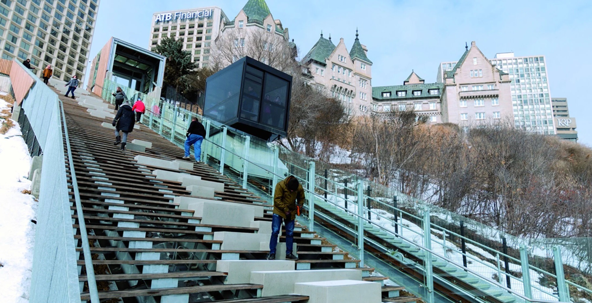
In the late 19th century, a new force emerged in Edmonton’s history—one with little interest in picturesque vistas, but a keen eye for land value, freight potential, and straight rail tracks. In 1891, the Calgary and Edmonton Railway reached the south bank of the North Saskatchewan River. Due to the steep descent into the valley and the high cost of bridge construction, the tracks initially stopped short of Edmonton itself. The terminus landed directly across the river in a settlement that eventually incorporated as the town of Strathcona.
Thus, without stopping a single train, the river effectively created a separate municipal neighbor for Edmonton. Warehouses, mills, hotels, shops, and residential quarters quickly sprouted around the station. Streets were laid out using the familiar North American grid system (Grid System). It was ideal for surveyors and real estate speculators: a few straight lines, uniform blocks, and the future city could already be advertised in newspapers. Nature, however, did not read those newspapers.
The river valley, steep embankments, and deep ravines forced roads to deviate, dead-end, or wind around obstacles to connect with neighboring districts.
Why Oliver, Glenora, and Strathcona Evolved Differently
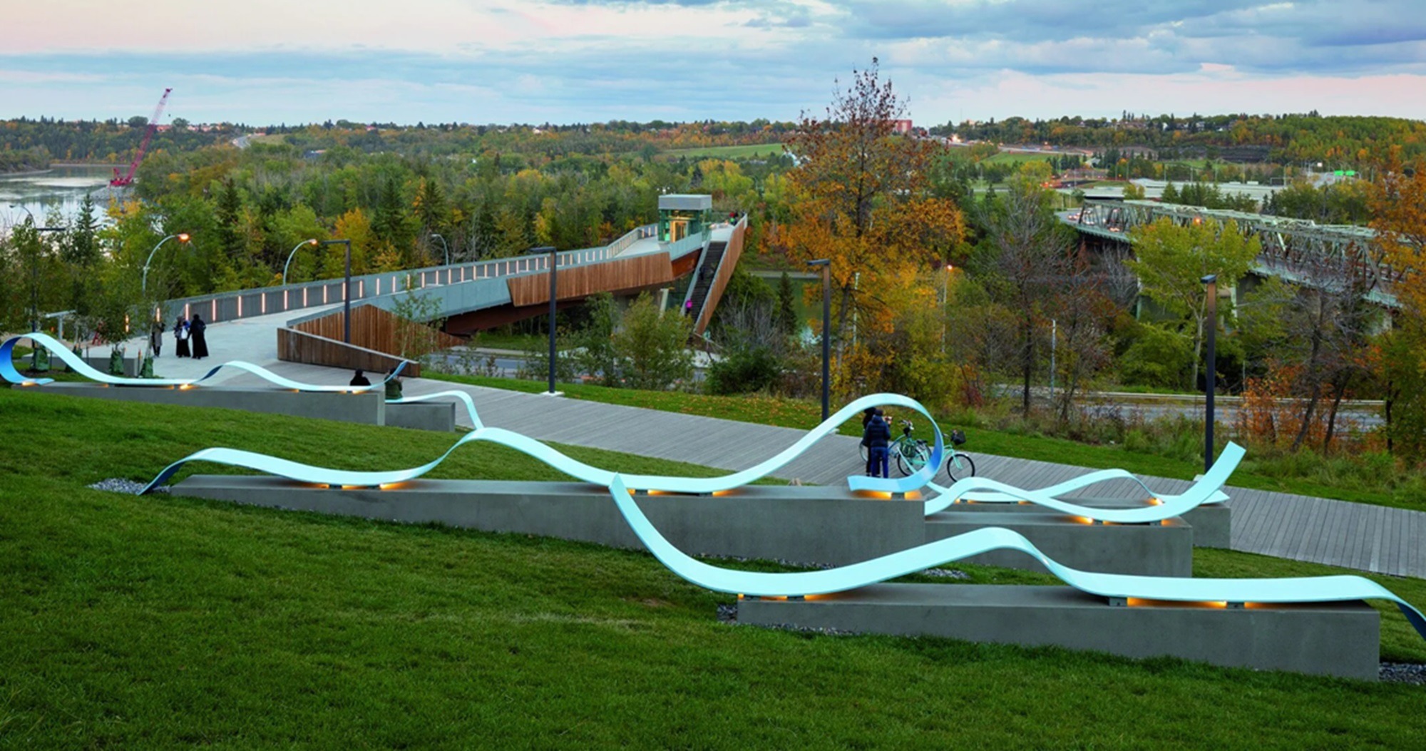
On the north bank, the same geometric grid gradually expanded across the downtown area and western suburbs. The Oliver neighborhood, long referred to simply as the West End, was separated from downtown by undeveloped lots, while its southern expansion was checked by the deep valley.
Further west emerged Glenora—an upscale suburb where the rigid grid was deliberately abandoned in favor of curving tree-lined avenues. This design harmonized better with the dramatic topography and embraced the contemporary European “Garden City” movement. Glenora’s designers chose not to overpower the landscape, but to conform the infrastructure to the natural contours of the plateau.
As a result, Edmonton did not expand as a single contiguous footprint, but as several semi-independent hubs. Strathcona grew around the railway node, Oliver stretched along the western fringe of downtown, and Glenora occupied the high bluffs overlooking the river. On paper maps, town planners still tried to superimpose a neat grid overlay. In reality, the river, steep slopes, and deep ravines constantly intervened, forcing urban developers to respect the geography of each valley terrace.
When the River Reclaimed Its Rights: The Great Flood of 1915
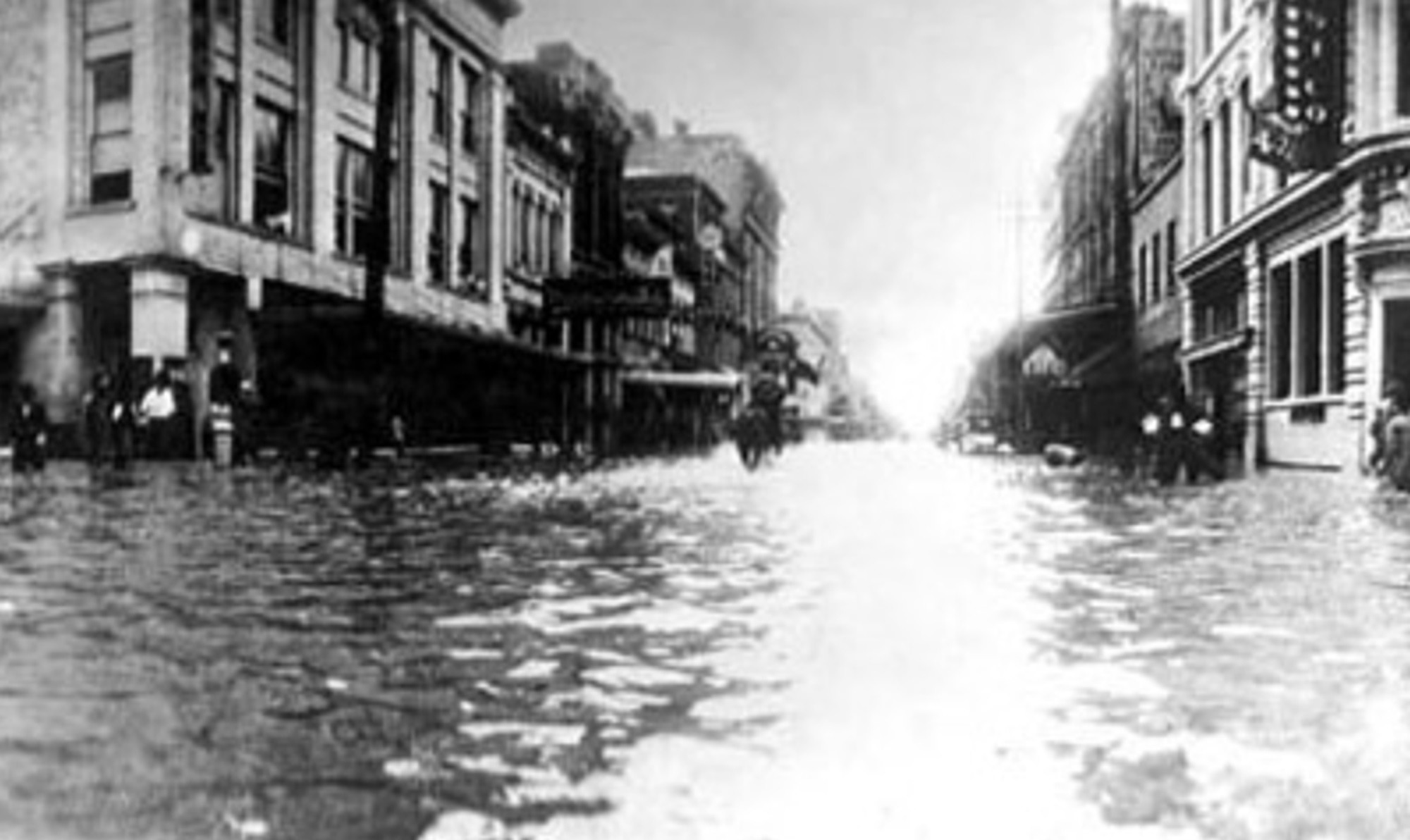
For a time, Edmonton residents acted as though the North Saskatchewan River valley was just another vacant plot awaiting development. Homes, warehouses, mills, and industrial plants were built across the floodplain, with proximity to the water considered a major logistical advantage. The river tolerated this until June 1915, when it held its own urban planning summit—without an agenda or right of appeal.
Torrential downpours combined with mountain snowmelt caused the river to swell ten meters above its normal level. The deluge inundated hundreds of low-lying homes (particularly in Rossdale), completely destroyed nearly fifty structures, and forced nearly two thousand residents to evacuate. While industry did not vanish from the valley overnight, the disaster drastically diminished the appeal of capital investments in the floodplain.
From then on, industrial facilities and residential neighborhoods systematically retreated to the safety of the higher plateaus.
The Birth of the “Ribbon of Green” and the High Level Bridge
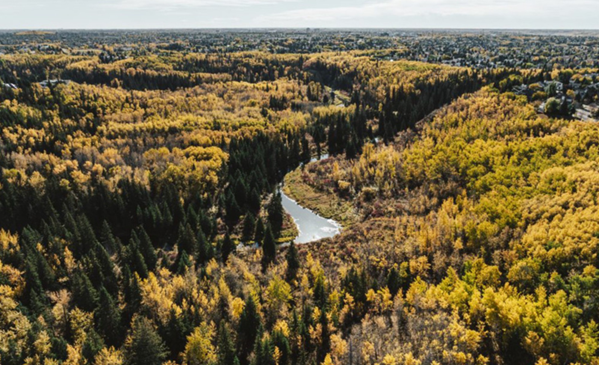
The Great Flood lent new, intensely practical urgency to proposals made by landscape architect Frederick Todd. As early as 1907, Todd had advised civic authorities to preserve the valley and its network of ravines as an interconnected system of urban parks and scenic trails. In the wake of the flood, his “Ribbon of Green” vision transformed from an aesthetic luxury into the most sensible way to prevent future financial disaster.
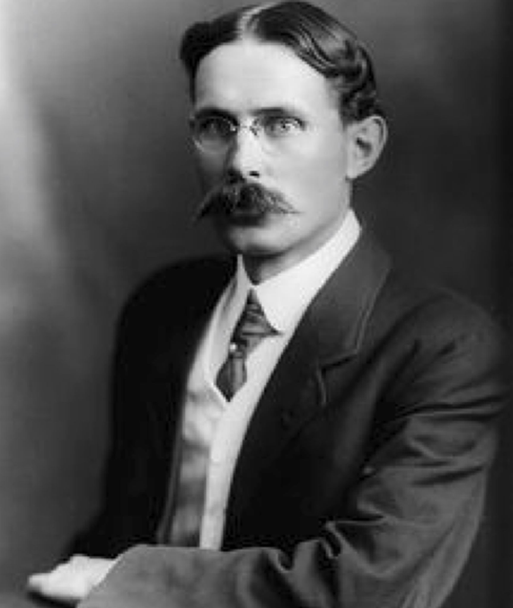
It became clear that nothing should be built in the valley that the river might eventually reclaim. Yet the city needed to do more than just retreat from the water; it had to cross it reliably. An engineering answer to this challenge was already rising above the canyon.
Completed in 1913, the monumental High Level Bridge securely connected downtown Edmonton with Strathcona. This massive steel structure elevated railways, streetcars, automobiles, and pedestrians far above potential floodwaters, offering a masterclass in how the city could coexist with its unpredictable river.